
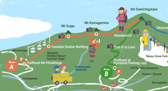
Let’s climb Mt Dainichigatake!
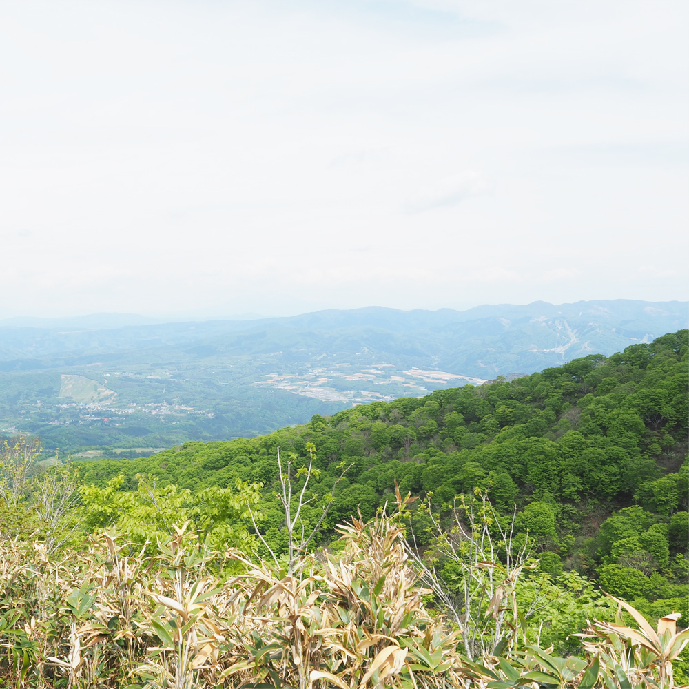
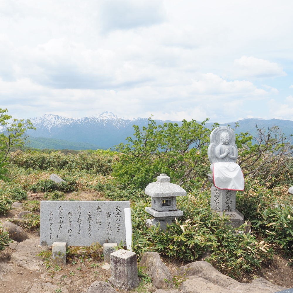
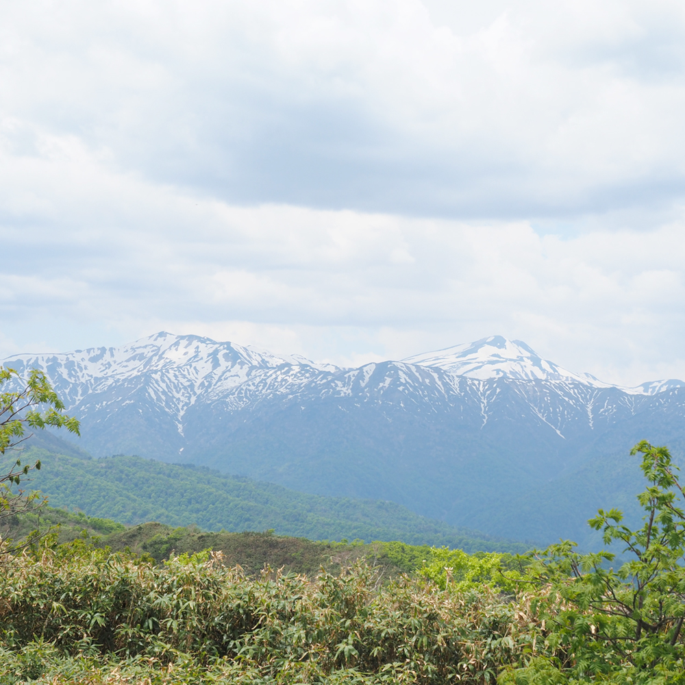
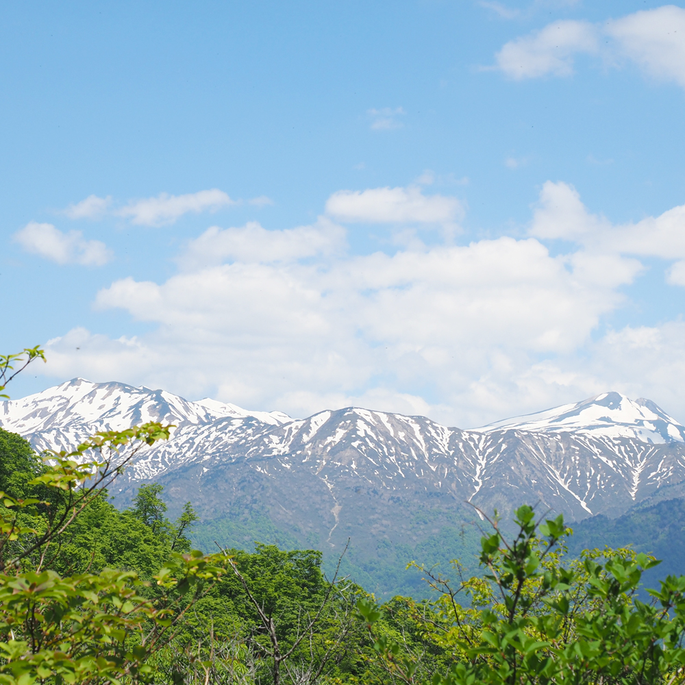
Mt Dainichigatake is located at an altitude of 1,709m. Near to the mountaintop where the statue of Dainichi Nyorai is enshrined, you can see famous mountains such as Mt Hakusan, Mt Bessan, Mt Yarigatake, Mt Norikuradake, and Mt Ontakesan. There are 3 different routes to enjoy climb with difficulty of climbing. Winghills Shirotori Route is a full-scale route that goes along the ridge road DYNALAND route is the shortest course that runs through a steep slope. And Hirugano Kogen Route goes through the deciduous forest zone. You can choose from the three of them according to your status and interest.


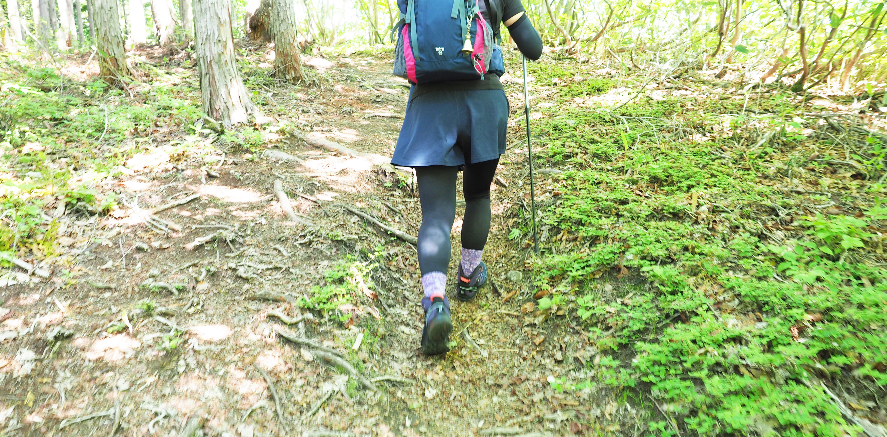
Going along a steep slope
Winghills Shirotori Resort Route
| Difficulty | ★★☆ |
|---|---|
| Time required | Climbing : 4 hours 20 minutes / Descending : 3 hours |
Route A is a popular route for mountaineering enthusiasts, who can see flower fields of alpine plants while crossing mountaintops of different mountains. If you take a summer gondola at Winghills Shirotori Resort, you can take a shortcut for about an hour.
Route information
Time used is just a guideline, and there are individual differences.
Please refrain from parking outside business hours at Mantennoyu Parking Area.
Please use the parking lot at the bus stop “Mantennoyu Iriguchi (Entrance of Mantennoyu”.
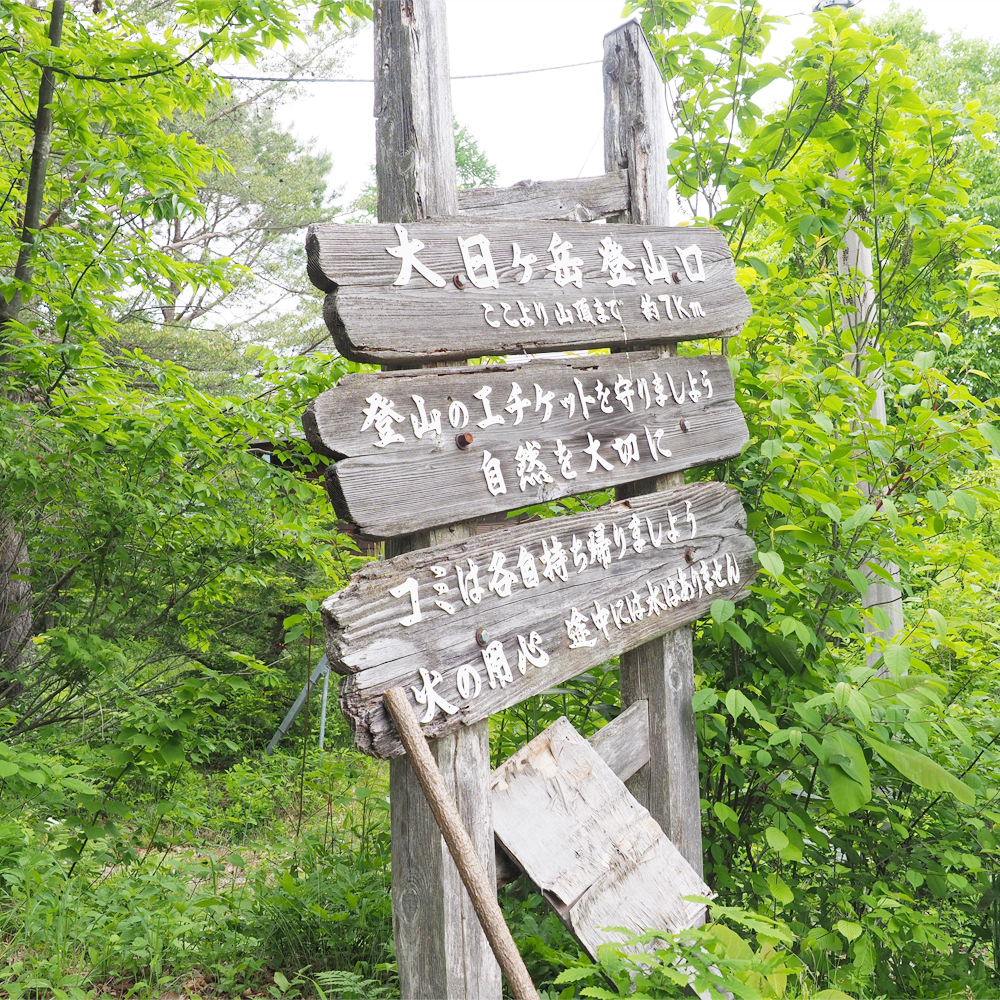
Trailhead Mt Hinokitoge Altitude : 970m / Parking lot : Approximately 10 lots free of charge
Go straight up the slope from the trailhead. Please be careful as it is slippery. If you take Winghills Shirotori Resort’s gondola, it can save you about an hour.
↓UP : 90 minutes ↑DOWN : 50 minutes
Gondola Station Building Altitude : 1,350m
Follow the ridgeline from here. ★ Gondola arrival point
↓UP : 60 minutes ↑DOWN : 40 minutes
[ Photo shooting point ] Mt Suigoyama Altitude : 1,558m
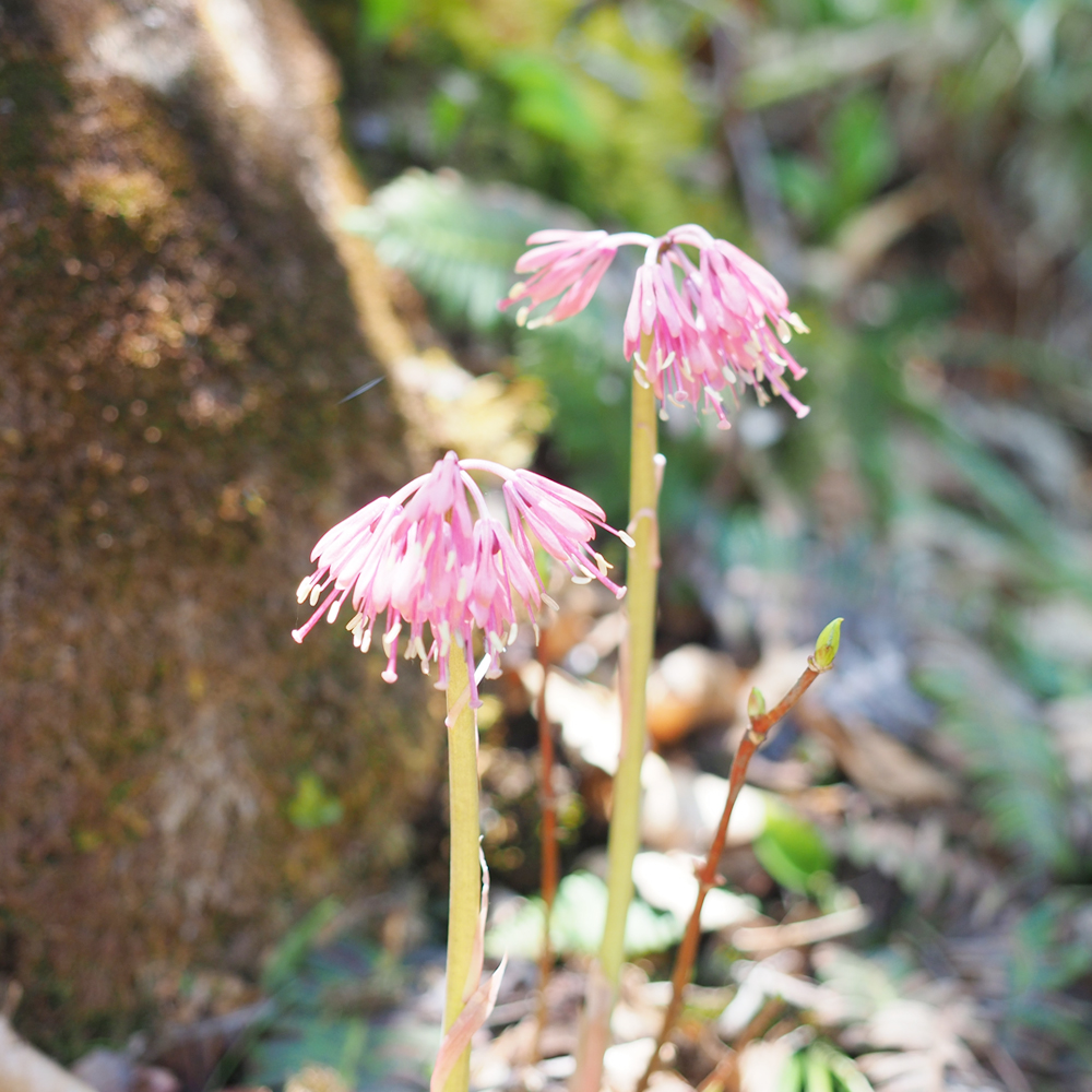
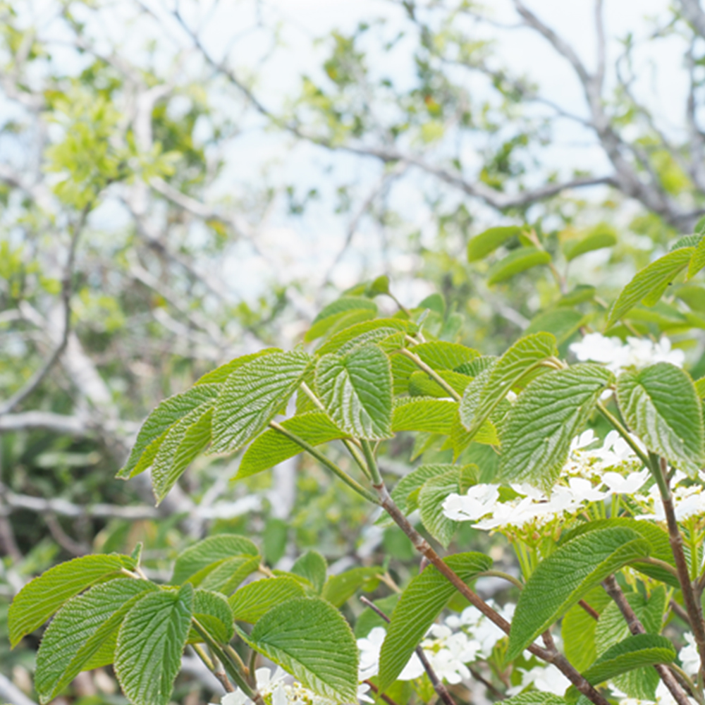
Route to ridge road begins here. You can overlook the city along Nagaragawa River. You can walk smoothly while enjoying flower fields of alpine plants such as daylilies and veratrum stamineums.
↓UP : 50 minutes ↑DOWN : 40 minutes
[ Photo shooting point ] Mt Kamagamine Altitude : 1,666m
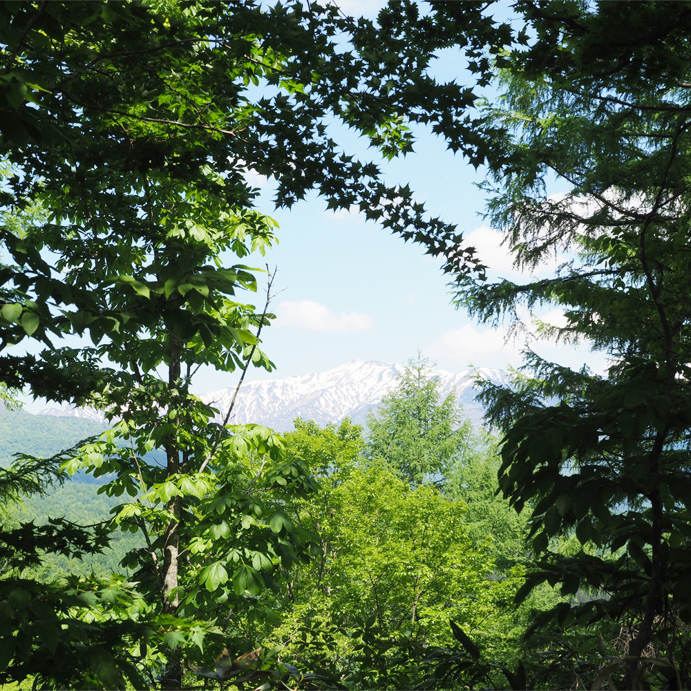
When you see Mt Kamagamine from Mt Suigo, it looks very magnificent that you may mistaken for the mountaintop of Mt Dainichigatake. You can walk directly to Mt Dainichigatake from the ridge. You can also see Mt Arashimadake, one of Japan’s 100 famous mountains, and the beautiful ridges of Mt Kamagamine and Mt Suigoyama. Once you go down to the saddle and head for the mountaintop.
↓UP : 60 minutes ↑DOWN : 50 minutes
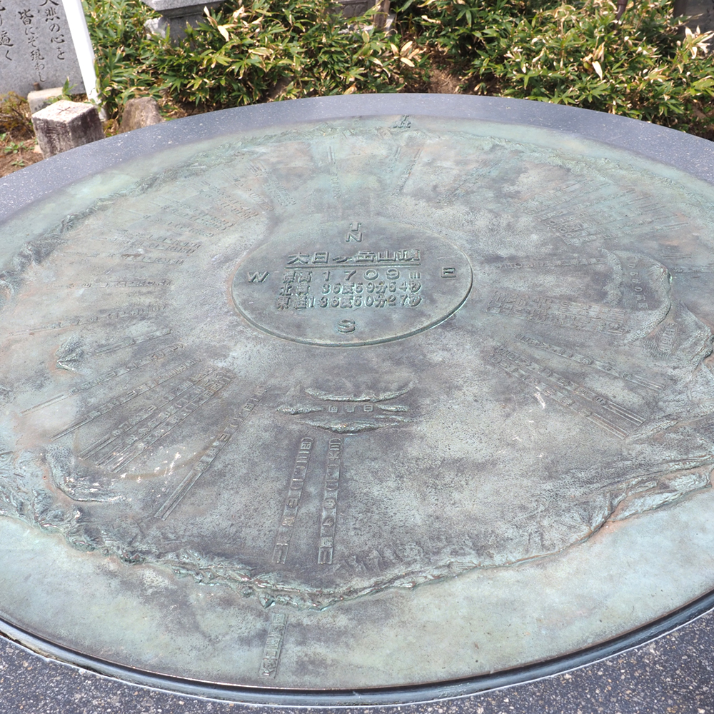
Mountaintop of Mt Dainichigatake Altitude : 1,709m
Taking the gondola for shortcut!
Take a gondola of a total length of 2,300m to see the beautiful view in the air. We recommend families taking this gondola as you can go trekking from the gondola mountaintop station to the mountaintop which is less tiring.
* Please check here for details (Operation schedules and fares).
Click here for inquiries in summer : 090-4163-5520 (Closed on Tuesdays)
↓UP : 30 minutes ↑DOWN : 20 minutes
Mountaintop of Mt Dainichigatake Altitude : 1,709m

Shortest time to go to the peak!
DYNALAND Route
| Difficulty | ★★☆ |
|---|---|
| Time required | Climbing : 3 hours / Descending : 2 hours |
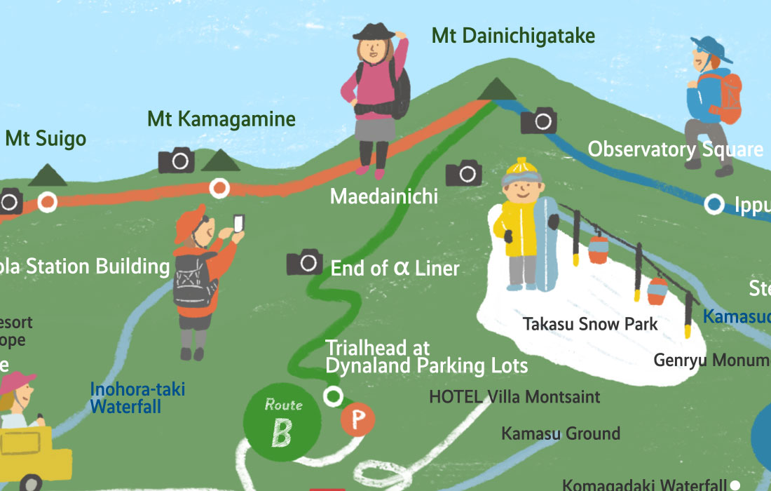
Climb the slope of DYNALNAD Ski Resort, enter the ridge and go straight to the steep slope. It is a route passing through Mt Maedainichi to search to the mountaintop in the shortest time!
Route information
Time used is just a guideline, and there are individual differences.
* Mountain trail may not be available when event is held.
Please check here in advance.
Trailhead Altitude : 980m / Parking lot : Approximately 30 lots free of charge
↓UP : 80 minutes ↑DOWN : 60 minutes
[ Photo shooting point ] End of α Liner Altitude : 1,300m
Walk along the ridge
↓UP : 70 minutes ↑DOWN : 40 minutes
[ Photo shooting point ] Mt Maedainichi Altitude : 1,650m
Walking along the gentle ridge while seeing the mountains on both sides.
↓UP : 30 minutes ↑DOWN : 20 minutes
Mountaintop of Mt Dainichigatake Altitude : 1,709m

Going through the beech trees
Hirugano Kogen Route
| Difficulty | ★☆☆ |
|---|---|
| Time required | Climbing : 4 hours / Descending : 3 hours |
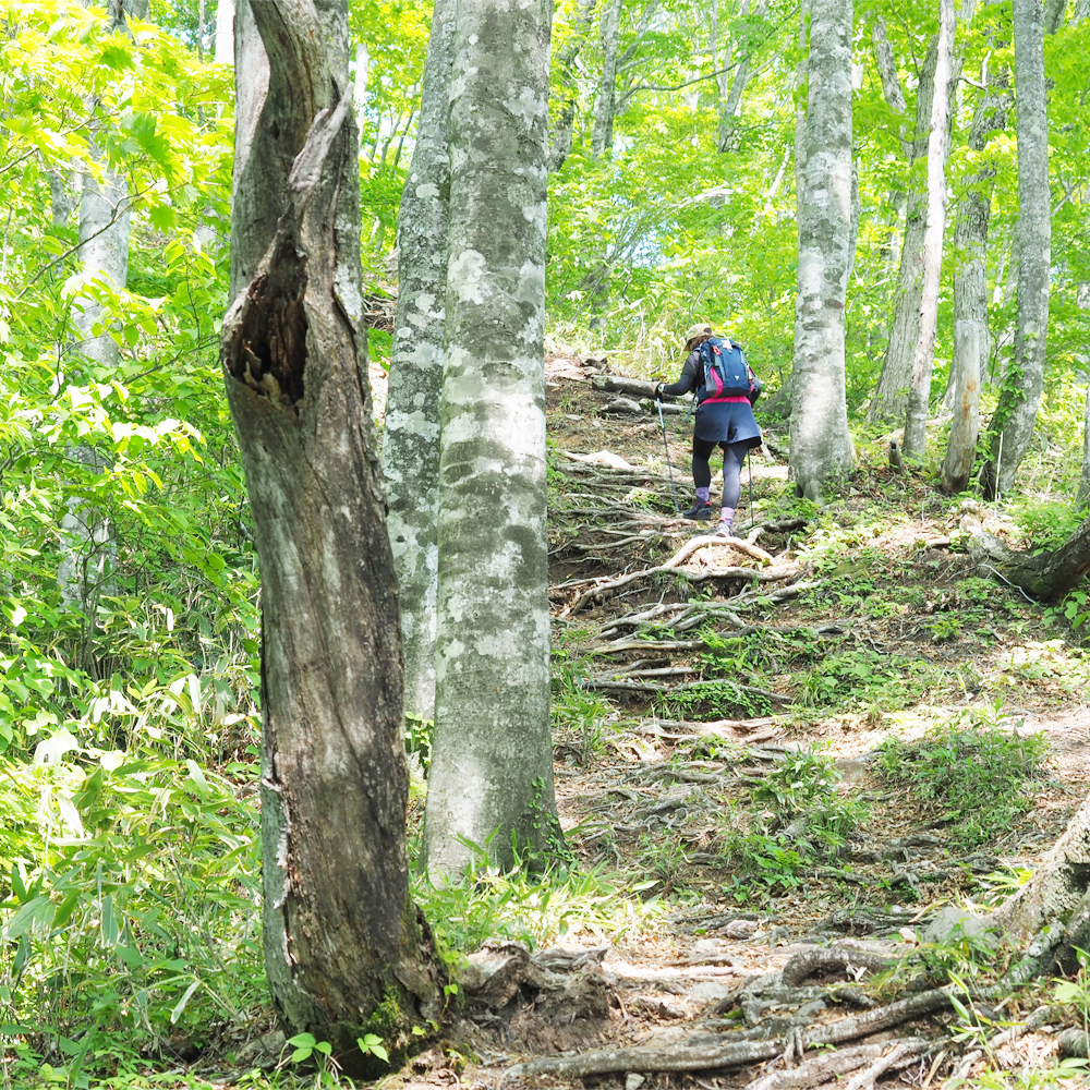
This route starts from a relatively gentle ridge road and goes through a deciduous forest zone. After passing the rest area surrounded by large beech trees, you can see the beautiful mountain view on your left and right. The mountaintop is just no far from you.
Route information
Time used is just a guideline, and there are individual differences.
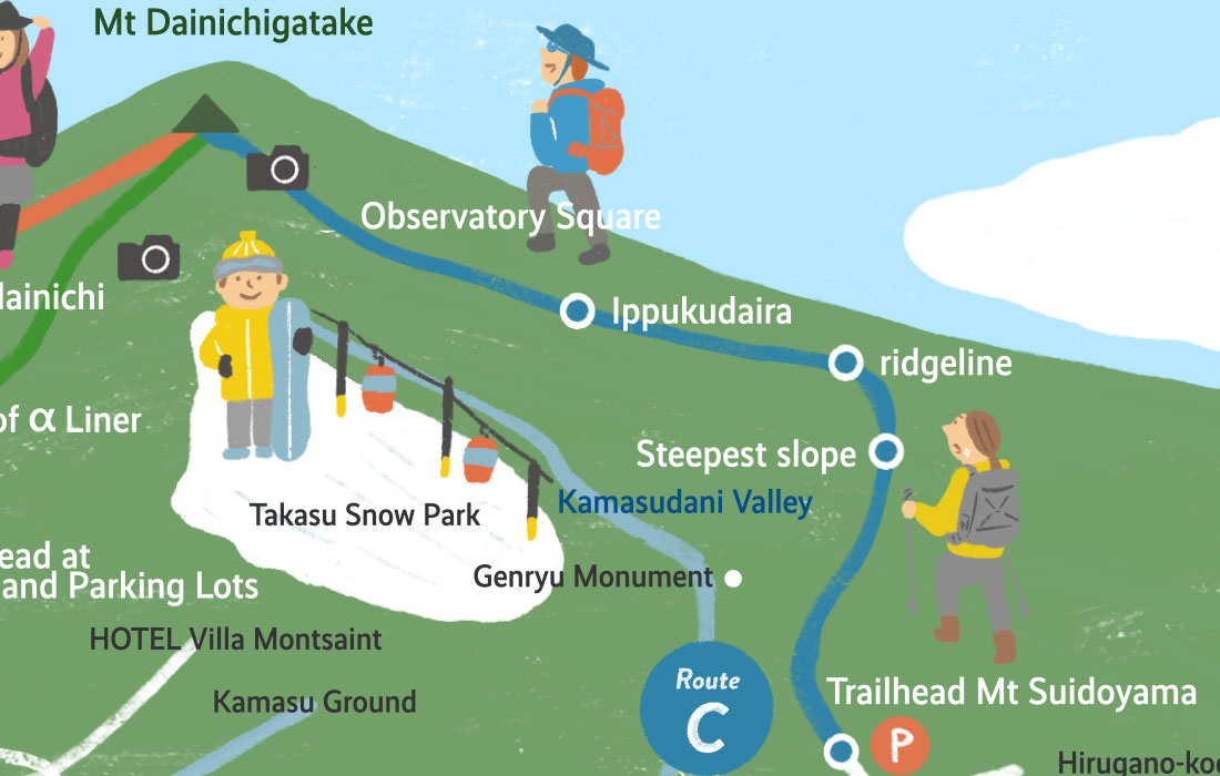
Trailhead Mt Suidoyama Altitude : 960m / Parking lot : Approximately 10 lots free of charge
It is the trailhead of Hirugano Kogen Mt Suidoyama.
↓UP : 60 minutes ↑DOWN : 50 minutes
Steepest slope Altitude : 1,200m
It is slippery after raining.
Please be careful.
↓UP : 30 minutes ↑DOWN : 20 minutes
Ridgeline Altitude : 1,273m
After climbing the steep slope, reach to the mountaintop through the ridgeline.
Walk through the beech trees from here.
↓UP : 60 minutes ↑DOWN : 40 minutes
Ippukudaira Altitude : 1,356m
It is a rest place surrounded by large beech trees.
Take some rest here and continue to the ridge road.
↓UP : 60 minutes ↑DOWN : 50 minutes
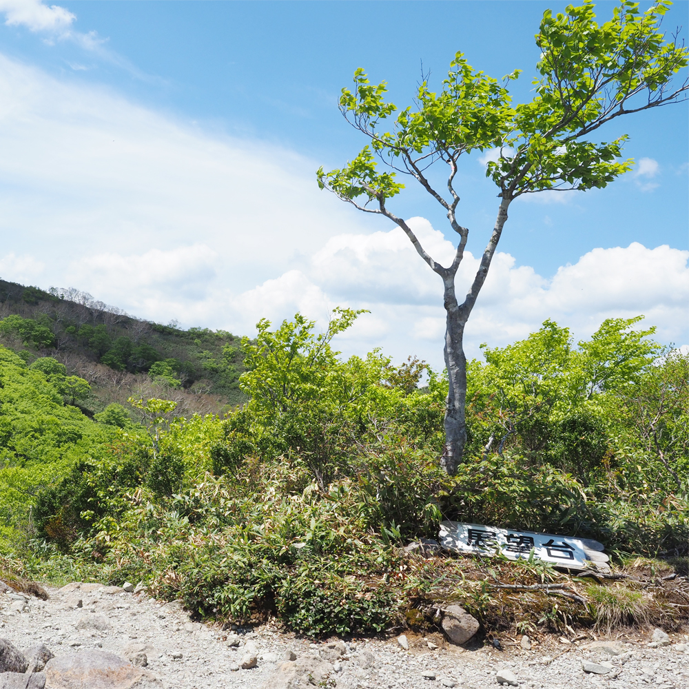
[ Photo shooting point ] Observatory Square Altitude : 1,580m
You can see the mountain scenery of Mt Dainichi. Your final climb is from the mountain saddle. Proceed through the field of bamboo grass.
↓UP : 30 minutes ↑DOWN : 20 minutes
Mountaintop of Mt Dainichigatake Altitude : 1.709m